The next few posts are going to include how color was introduced to the genre of maps and charts. The earliest maps were used for storytelling and wayfinding on land and at sea. Military planning and plant hunting were specialized areas using early colored maps. In the 1780s the profession of ‘topographic artist’ was introduced. This was the practice of recording and illustrating a landowner’s property on location using watercolor. Around the same time the first travel guide was illustrated with watercolor – creating a new ‘enthusiasm’ for appreciating the countryside.
Today I was fortunate to be enrolled in ‘Making A Vacation Map’ with Jean MacKay. Instead of hiring a topographic artist or referencing an illustrated tour map we learned how to create a vacation memory incorporating a map.
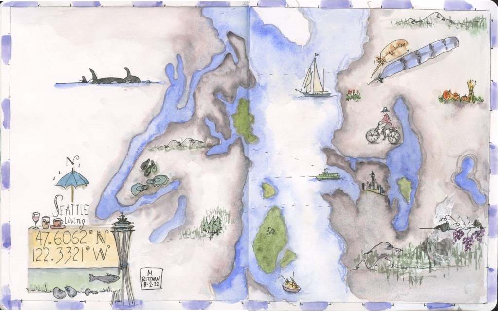
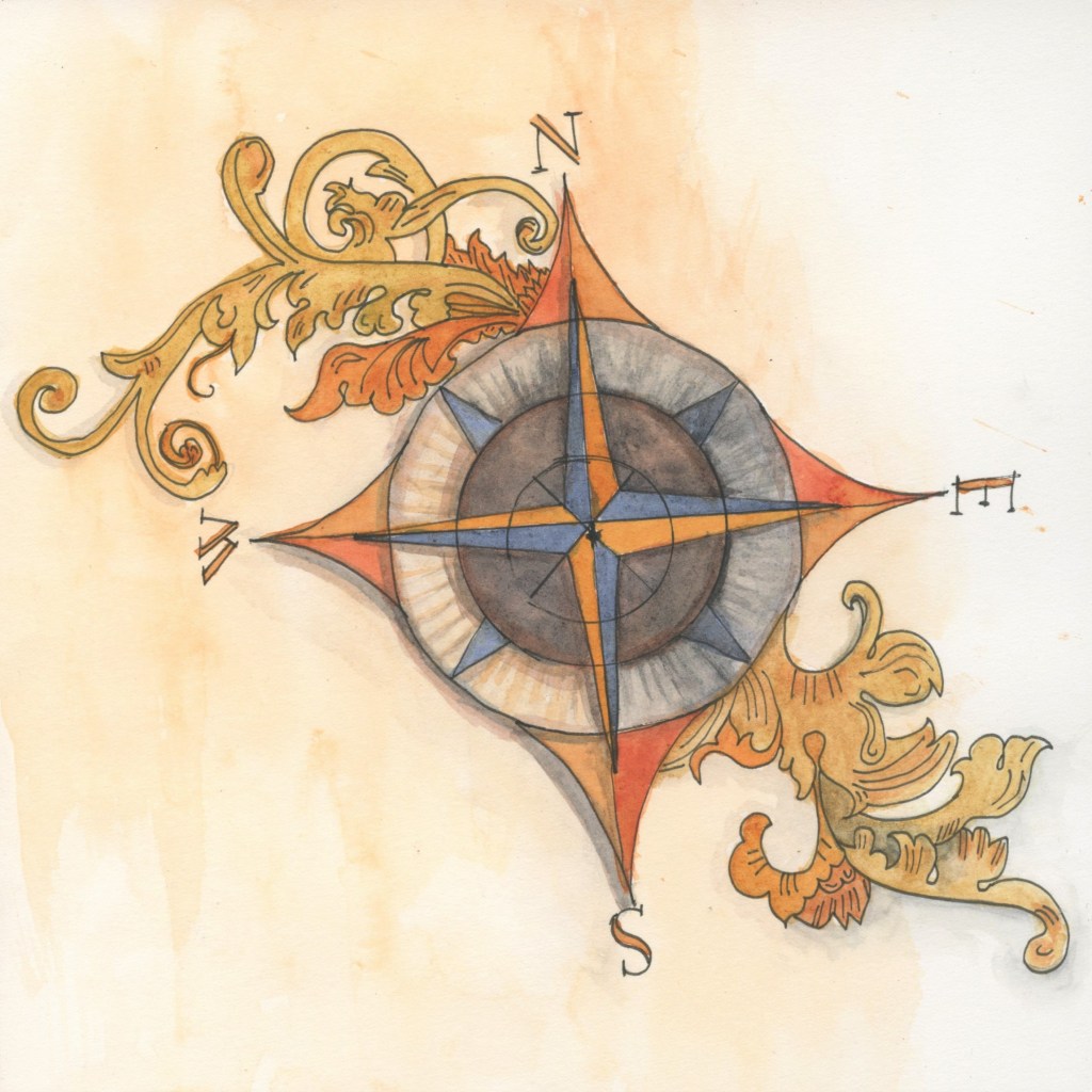
We studied map features such as the compass rose, legends, cartouches & landscape features. All which contribute to the character of a map. As was said of early cartography
…maps were not always concerned with reality, rather, they were designed to tell stories.
More about colorful map features next time.
Jean Mackay instruction was thru Winslow Art Center online.

Leave a comment