Own Your Encore

My Encore Excursions

  • Blog
  • Home
  • The Color of Maps

    The Color of Maps

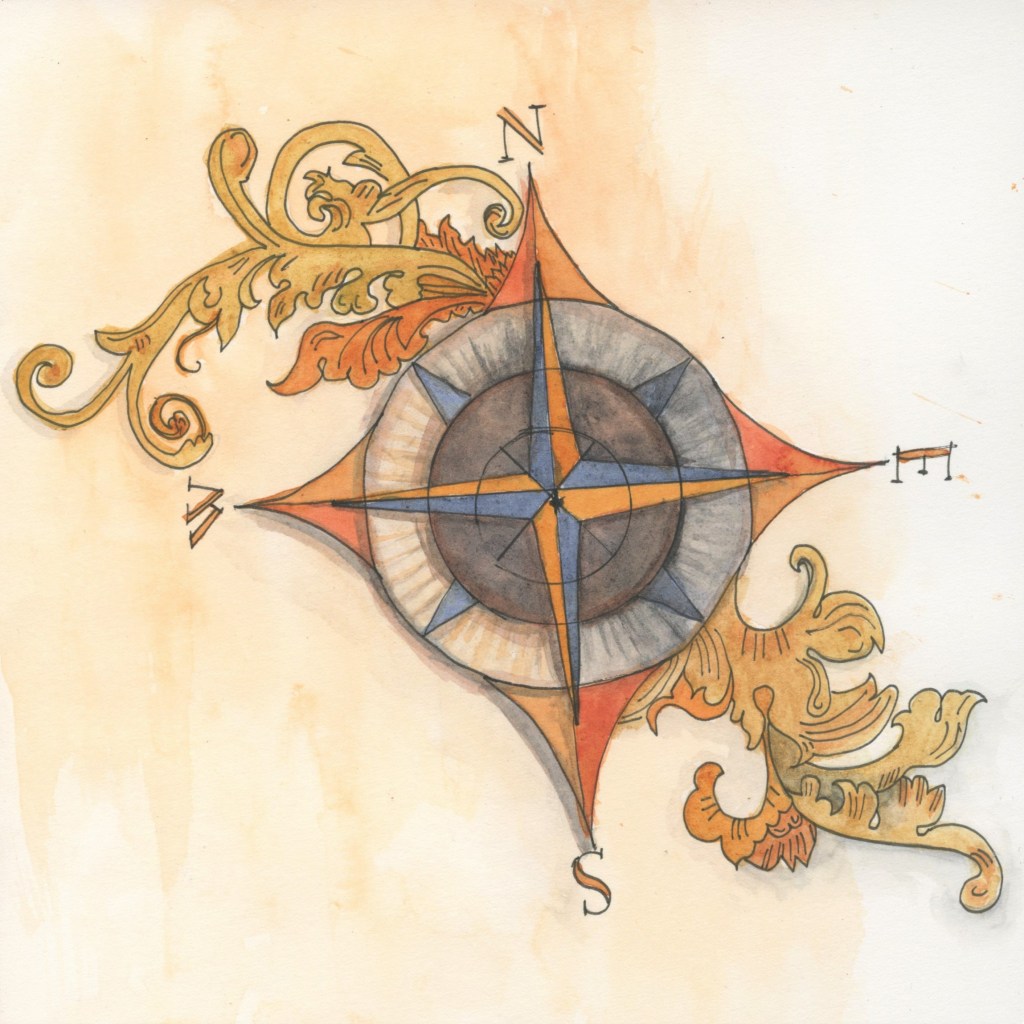
    The next few posts are going to include how color was introduced to the genre of maps and charts. The earliest maps were used for storytelling and wayfinding on land and at sea. Military planning and plant hunting were specialized areas using early colored maps. In the 1780s the profession of ‘topographic artist’ was introduced.…

    MSRitzman

    August 2, 2022
    2022 Color
    Color week, Jean Mackay, maps, watercolor maps, watercolor practice, Winslowartcenter.com

Blog at WordPress.com.

  • Follow Following
    • Own Your Encore
    • Already have a WordPress.com account? Log in now.
    • Own Your Encore
    • Edit Site
    • Follow Following
    • Sign up
    • Log in
    • Report this content
    • View site in Reader
    • Manage subscriptions
    • Collapse this bar